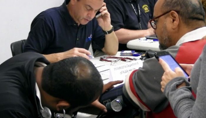
by Justin Friend, Regional Integration Center Coordinator, Philadelphia Office of Emergency Management | June 29, 2019
My name is Justin Friend. I work for the residents of Philly as a staff member in the Philadelphia Office of Emergency Management.
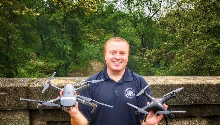
Away from my job, I have another passion: Remote Control (RC) flying.
I’ve been working with drones for six years now and I’m licensed as a Part 107 Commercial pilot. Before that, I flew RC aircraft, getting my start in grade school with my grandfather.
I’ve read through the FAA’s eight new conditions for recreational flight.
I’m writing this to help break down these requirements for those who share my passion for flying. My goal is to translate the Federal Aviation Administration’s jargon-laden terminology so you can put away the decoder ring and get back in the air.
Keep in mind that at the end of the day you are responsible to make sure your flight is safe – meaning, use this guide along with other sources to ensure a safe flight.
Let’s dive in.
1. The aircraft is flown strictly for recreational purposes.
You cannot make money (commercial use or any business purpose) at any point during a flight to stay in recreational use.
2. The aircraft is operated in accordance with or within the programming of a community-based organization’s (CBO) set of safety guidelines that are developed in coordination with the FAA.
Pick a Community Based Organization, like the Academy of Model Aeronautics. Join them and follow their rules along with the FAA’s conditions while flying.
3. The aircraft is flown within the visual line of sight of the person operating the aircraft (pilot in command) or a visual observer (VO) co-located and in direct communication with the operator.
The remote pilot must be able to see the aircraft. If you have a second person with you who is responsible and can help with your flight (called a visual observer or “VO”) then the pilot can fly with First Person View (FPV) goggles.
4. The aircraft is operated in a manner that does not interfere with and gives way to any manned aircraft.
Stay safe, use common sense, and ALWAYS stay far away from manned aircraft.
NOTE: Before jumping into conditions five and six, I want to stress how important it is to read the FAA’s maps that show the maximum height allowable (flight ceiling) for drones in any given area. This important resource is called the FAA sUAS Facility Map.
5. In Class B, Class C, or Class D airspace or within the lateral boundaries of the surface area of Class E airspace designated for an airport, the operator obtains prior authorization from the Administrator or designee before operating and complies with all airspace restrictions and prohibitions.
In Philadelphia, there are several areas that restrict how high you can fly (flight ceiling) and a few locations where no flights are allowed due to nearby airports and other safety considerations. Use the FAA sUAS Map and other flight tools/apps to verify you are not in one of these areas prior to flying.
If you are, in some areas you will soon be able to request permission from the appropriate air traffic control tower (ATCT). This process is known as the Low Altitude Authorization and Notification Capability (LAANC) which is still under development for hobbyist drone pilots. Stay tuned for FAA’s updates on this topic and the full list of approved recreational vendors.
6. In Class G airspace, the aircraft is flown from the surface to not more than 400 feet above ground level and complies with all airspace restrictions and prohibitions.
When you are NOT near any airports, controlled airspace, or restricted areas, you can fly up to 400 feet. Always check the FAA sUAS Map to confirm there are no altitude restrictions prior to taking off. Large parts of Philadelphia have flight ceilings lower than 400ft above ground level (AGL) due to airport activity. To learn more about airspace classifications, check the FAA’s website.
7. The operator has passed an aeronautical knowledge and safety test and maintains proof of test passage to be made available to the Administrator or a designee of the Administrator or law enforcement upon request. This test is not out yet. Keep up with the FAA DroneZone for updates on this topic.
8. The aircraft is registered and marked and proof of registration is made available to the Administrator or a designee of the Administrator or law enforcement upon request. Register your drone through the FAA’s DroneZone. It costs five dollars per aircraft and lasts three years.
Once your registration number is issued, clearly print, engrave, or label the outside of your drone with its’ newly minted registration number. Print out and keep a paper copy of your aircraft registration from the DroneZone with you when you fly.
Thanks for reading this blog and I hope you enjoy flying as much as I do!
If you have any feedback, please e-mail me at oem@phila.gov.
Fly safe and have fun!