What we do
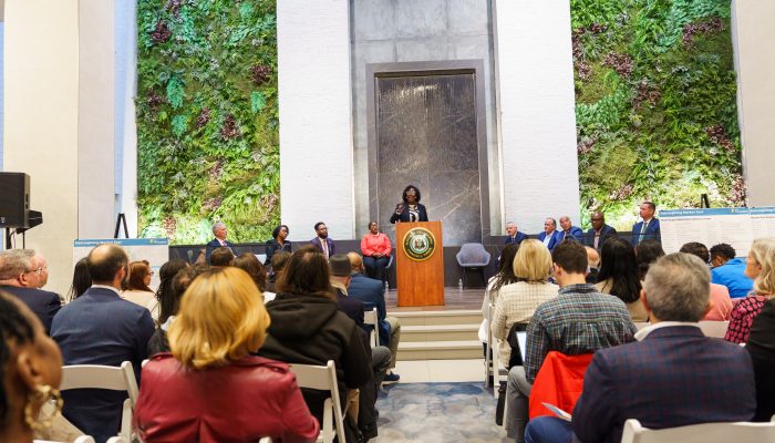
As part of the Philadelphia Department of Planning and Development, the Philadelphia City Planning Commission (PCPC) is a bridge between the public and the government.
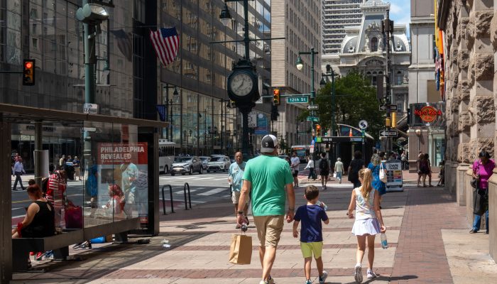
We guide investment and growth in Philadelphia. The goal is to create neighborhoods that are well-connected, affordable, and desirable places to live and work.
As outlined in the City's charter, PCPC oversees the:
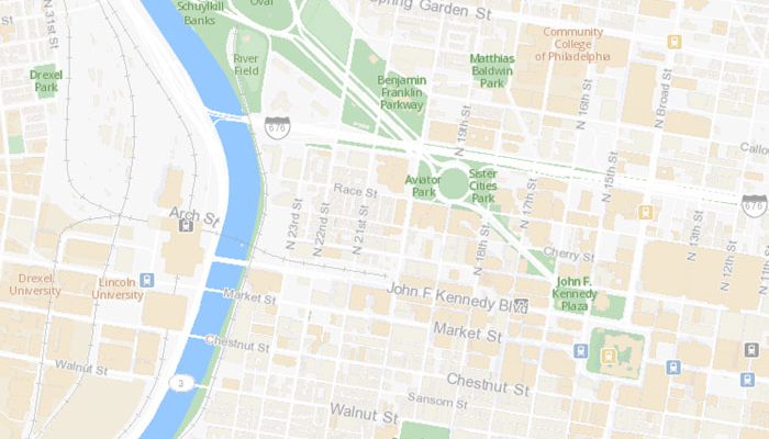
- Physical development plan of the City, or the Comprehensive Plan.
- Zoning ordinances, maps, and amendments.
- Capital Program and Budget.
- Streets and land subdivisions.
- Recommendations to City Council related to zoning and development legislation.
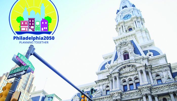
The Comprehensive Plan is a policy document that focuses on land-based issues. Community groups, City Council members, and developers can use the plan as a road map for development in their areas.
Connect
| Address |
1515 Arch St.
13th Floor Philadelphia, PA 19102 |
|---|---|
|
planning |
|
| Phone |
Phone:
(215) 683-4615
Fax: (215) 683-4630
TTY: (215) 683-0286
|
| Social |
Our programs


Get updates from the City Planning Commission
Sign up to receive tentative agendas prior to all scheduled City Planning Commission meetings.