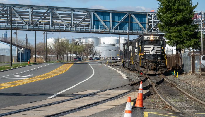
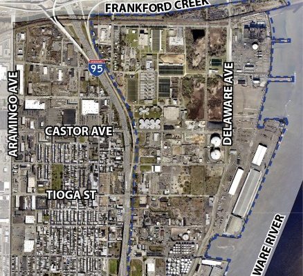
The Philadelphia City Planning Commission with a consultant team is conducting a complete streets study in the Port Richmond Industrial District. This area stretches from Allegheny Avenue to the Frankford Creek, and between Aramingo Avenue and the Delaware River. Planners at the Philadelphia City Planning Commission are seeking residents’ input on these updates so that they can learn about the community’s needs.
What are we doing?
The study is looking at transportation challenges in the Port Richmond Industrial District. This is an area with a mix of residential, commercial, and industrial uses that all have different and conflicting needs on roadways. The study will help consider how transportation projects fit into the larger streets and transportation network. It will help us meet the needs of industrial operators while also connecting residents and visitors to the Delaware River Trail. This holistic approach will help enhance safety and connectivity for users of all ages, abilities, and transportation modes. This study will be used to guide future projects driven by the needs of community members and businesses through meaningful engagement.
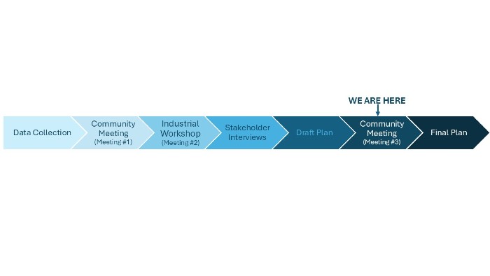
We have held a community meeting, an industry workshop, and multiple stakeholder interviews to gather feedback on transportation challenges in the area. This feedback was reviewed along with existing plans in the neighborhood to propose recommendations neighborhood-wide and with six specific corridor recommendations. We are seeking your feedback on these proposals to see if these recommendations match what we’ve heard from you. Following this last round of feedback we will produce a final report.
Timeline
How can I get involved?
Please attend the next community meeting, Community Meeting #3, hosted by the Philadelphia City Planning Commission and consultant NV5 at the monthly meeting of the Port Richmond On Patrol and Civic registered community organization (PROPAC) on December 1, 2025. The meeting with be hosted at the Columbia Social Club, 3521-29 Almond Street, Philadelphia, PA 19134.
If you can’t make the December 1st community meeting, please review the boards linked below and take the Port Richmond Industrial District Complete Streets survey by December 19, 2025, to give feedback on the transportation proposals.
Where can I find more information?
Posters, maps, and handouts from community meetings are available for viewing on this document page.