Project Leads: Matt Rodenberger – GIS Analyst
Tim Haynes – Senior Lead GIS Analyst
Nick Fink – GIS Systems Engineer
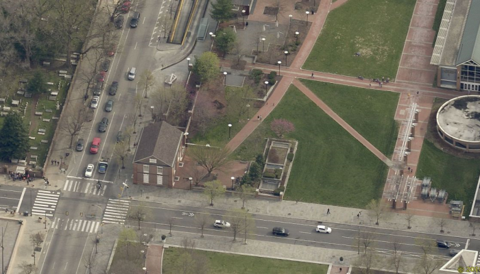
Imagine you are visiting Independence National Historical Park when you hear a young child cry out after being stung by a bee. You rush over to help and realize the child is going into shock—instinctively you dial 911, but when asked your location you pause… you know the park’s name, but not the exact address. Independence Park spans multiple city blocks and consists largely of open space. Fortunately you spot an old building just a foot away with a sign reading “Free Quaker Meeting House.” You tell the 911 operator you are in Independence Park, beside the Free Quaker Meeting House. Even without an address, the operator knows your exact location and sends an ambulance right away.
Although not currently possible, the Office of Innovation and Technology’s CityGeo team is working to make this capability a reality by creating an inventory of City landmarks for use in emergency response dispatching and beyond.
Why Are Landmarks Important?
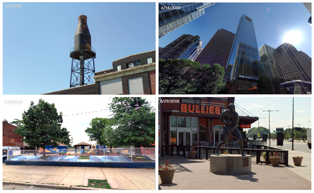
A landmark is an easy to recognize, unique feature used to identify a location by name rather than an exact address. Landmarks can include anything from historic sites (like the “Quaker Meeting House” example used in the beginning of this piece) to bridges or sculptures.
Landmarks play an important role in effective communication, especially with 911 calls. Having an inventory of City Landmarks will allow 911 operators to use landmark names to pinpoint a caller’s location without knowing an exact address. This information could save valuable seconds in life- threatening situations.
How Landmarks are Identified
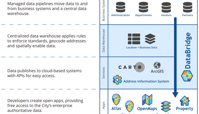
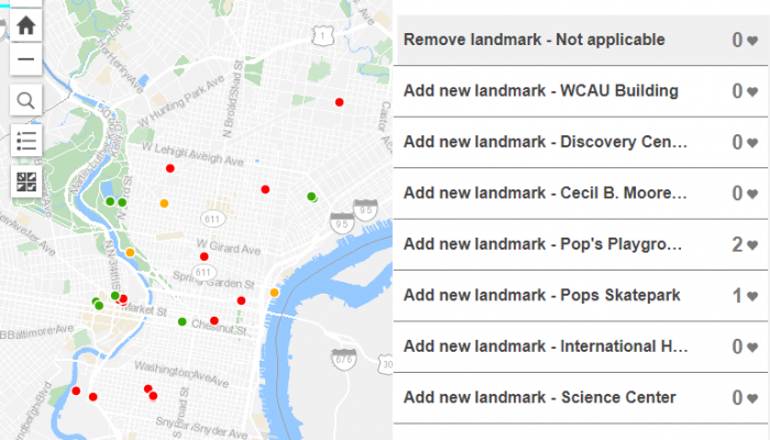
The CityGeo team developed a base dataset and reviewed custom aerial and street level imagery to identify landmarks in the City. Next, the team implemented a crowdsourcing application that allows the public to contribute to the City’s landmark dataset.
The City Landmarks application allows users to recommend new landmarks and suggest name changes to existing ones in the base dataset. All submissions are then verified by CityGeo staff and, if confirmed, are added to the dataset. Crowdsourcing this information ensures that landmarks are identified and named consistently with real-world use and ultimately improve location identification during 911 calls.
Make your Voice Heard, Suggest a Landmark!
Visit the City Landmarks application to suggest new landmarks, share insight on existing landmarks or simply check out the landmarks in your neighborhood!