The Office of Innovation and Technology’s CityGeo team is excited to announce its 4th annual Map Measure Manage public open house.
This year we’re highlighting the release of a new public app called Atlas.
What is Atlas?
Atlas is a new all-in-one mapping tool. You can search by address, tax account, or deed registry number and find information on deeds, permits, zoning, and other property records maintained by the City.
Atlas also has a wealth of imagery from 2017 to 1999, aerial images from Pictometry, and historical map images that users can explore.
The historical maps include: deed registry maps; 1962 and 1942 land use; Bromley Atlas of 1910; Hexamer Locher Atlas of 1860; and, other sources.
What is the Map Measure Open House?
The open house will feature eight City departments showcasing location-based tools. The tools are designed to inform decision-making and support operations as well as improve public services.
Here’s a list of participating departments:
- Office of Transportation and Infrastructure Services: Vision Zero’s data-driven High Injury Network.
- Health and Human Services Data Management Office: Early childhood risk assessment model.
- Streets Department: All new Litter Index survey tools and map-based management of 25,000 unique blocks within the city’s street network.
- Licenses and Inspections: Tools for identifying vacant industrial buildings, where unlawful uses are raising risk of fire deaths, and finding unstable fire escapes.
- Office of Aviation: NavigatePHL, a digital mapping platform used by PHL Airport to communicate, share, and manage everything about the airport.
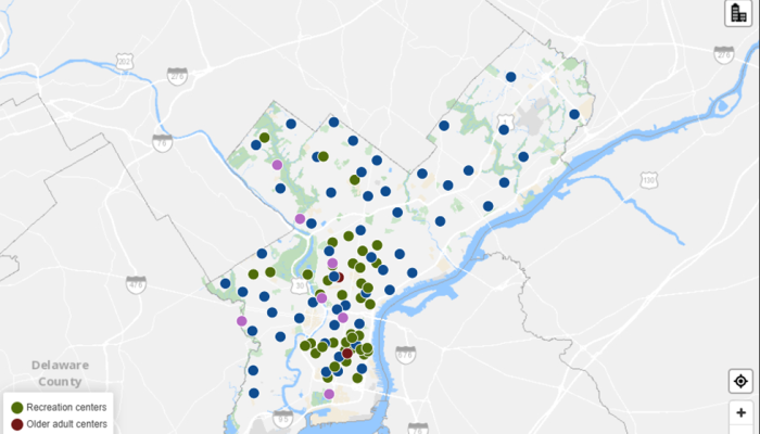
- Public Property: Location analysis of City building capital investment and operations and management costs.
- Office of Open Data and Digital Transformation, Open Data Tour – Where to Get It, How to Use It: Learn about open datasets from the city, their practical applications, and the City’s new data visualization tool, Carto.
- Office of Innovation and Technology: Demonstrations of two new public apps, Atlas and OpenMaps. OpenMaps is a mapping tool just for the City’s open geodata.
- Division of Housing and Community Development: PolicyMap.
When and where will the Map Measure Open House take place?
The Map Measure Open House will take place on November 14 from 5 p.m. — 7 p.m. at 1401 JFK Blvd. in the Municipal Services Building (MSB) on the 16th floor in the Innovation Lab.
Come and join us!


