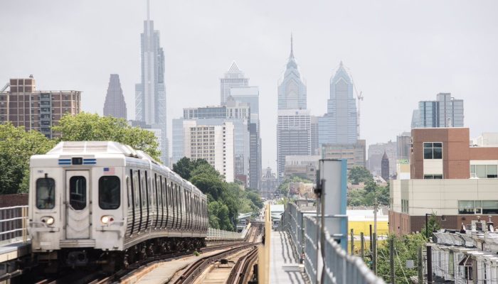
The Philadelphia Transit plan, A Vision for 2045 sets out a blueprint for a City Connected by Transit.
In previous posts we’ve covered why transit matters and the policy framework that supports our vision. In this third of four blog posts, we’ll dive into another key part of the plan: bus corridors.
Why bus corridors?
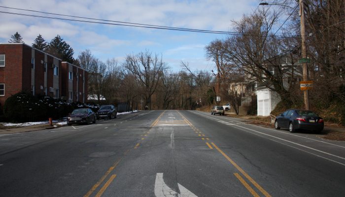
Improving buses is the cheapest, fastest, and most equitable way to improve transit in Philadelphia. This involves not only improving the bus network, but also the streets they run on.
The City is leading this effort because we own and manage the streets on which buses run.
Which get priority?
In order to have the most impact, we needed to figure out how to decide which corridors should be improved first.
We used the following factors to make data-driven decisions that prioritize need and equity:
- pre-COVID ridership
- low-income ridership
- bus speed & reliability
These factors will help ensure that improvements are reaching the areas that need them most and that they are distributed equitably across the city and to low-income riders.
What tools do we have?
The plan outlines the many tools we have to improve our streets for bus service, based on what other cities have done. These include both quick-build changes and larger transformations.
Our tools focus on three parts of the street that affect bus service:
- The Cross Section, where dedicated bus lanes can greatly improve service by granting buses priority over other traffic. Bus lanes can be added by painting lanes or separating them physically.
- The Intersection, where buses often compete with other traffic trying to make turns. Changes limiting interaction between buses and turning vehicles can improving service.
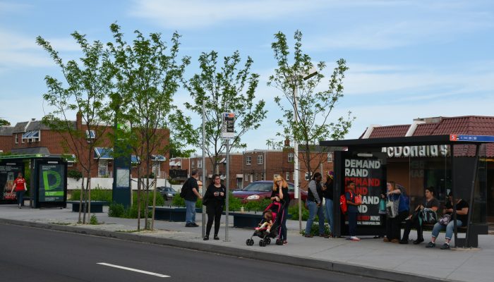
- The Bus Stop, where amenities, like seating, lighting, and shelter, can make riders feel more comfortable; off-board fare collection can make boarding faster; and stop placement can reduce delay at intersections.
Having a broad set of tools will allow us to work with SEPTA, neighbors, and riders to weigh trade-offs and select the right tool for each job.
The Philadelphia Transit Plan is the result of seventeen months of work and was created in close collaboration between the City of Philadelphia and our partners at the Delaware Valley Regional Planning Commission (DVRPC), the Southeastern Pennsylvania Transportation Authority (SEPTA), the Pennsylvania Department of Transportation (PennDOT), New Jersey Transit (NJ Transit), and the Port Authority Transit Corporation Speedline (PATCO). The City of Philadelphia Office of Transportation, Infrastructure, and Sustainability (OTIS) led the development of this plan.